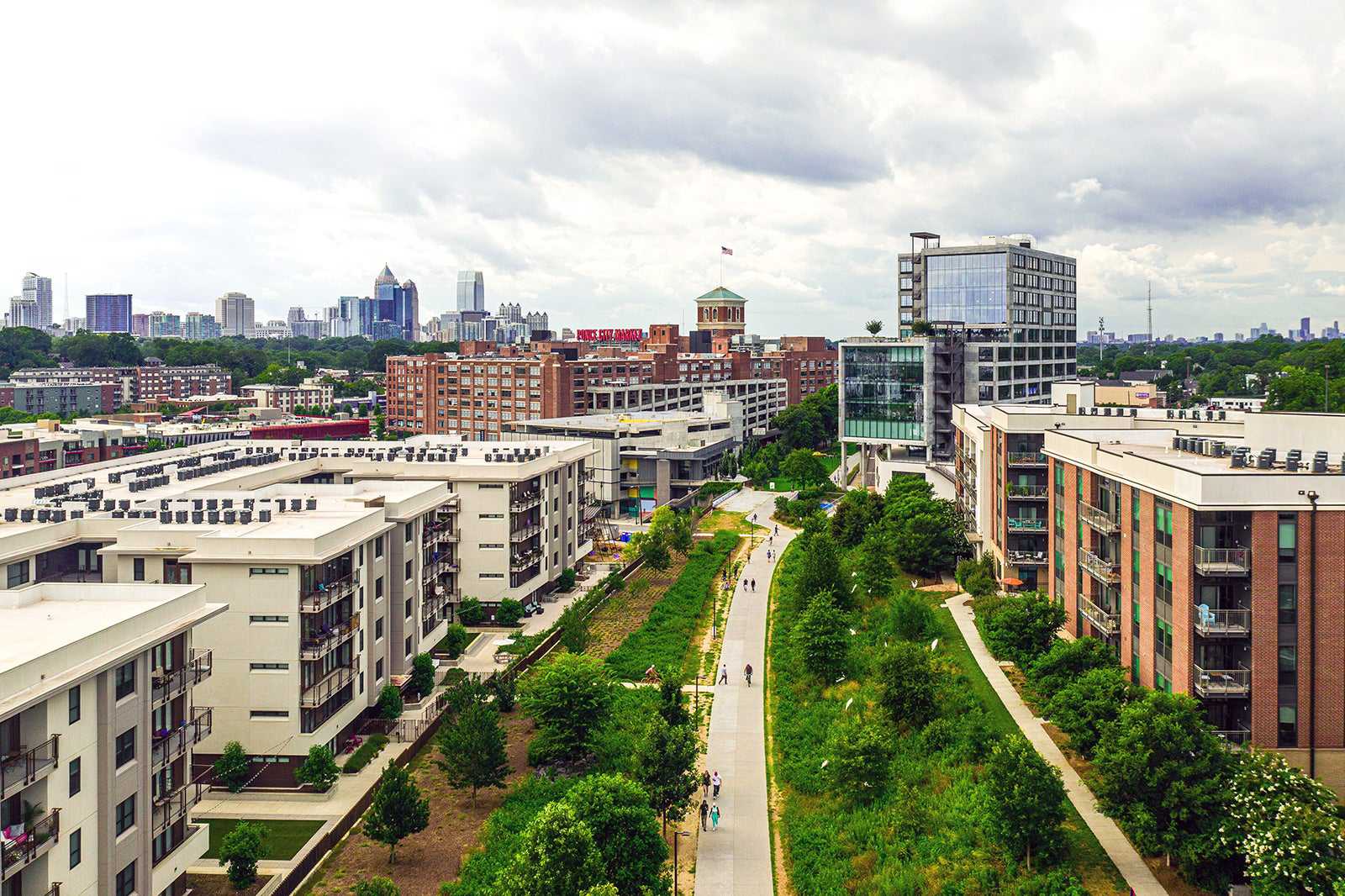
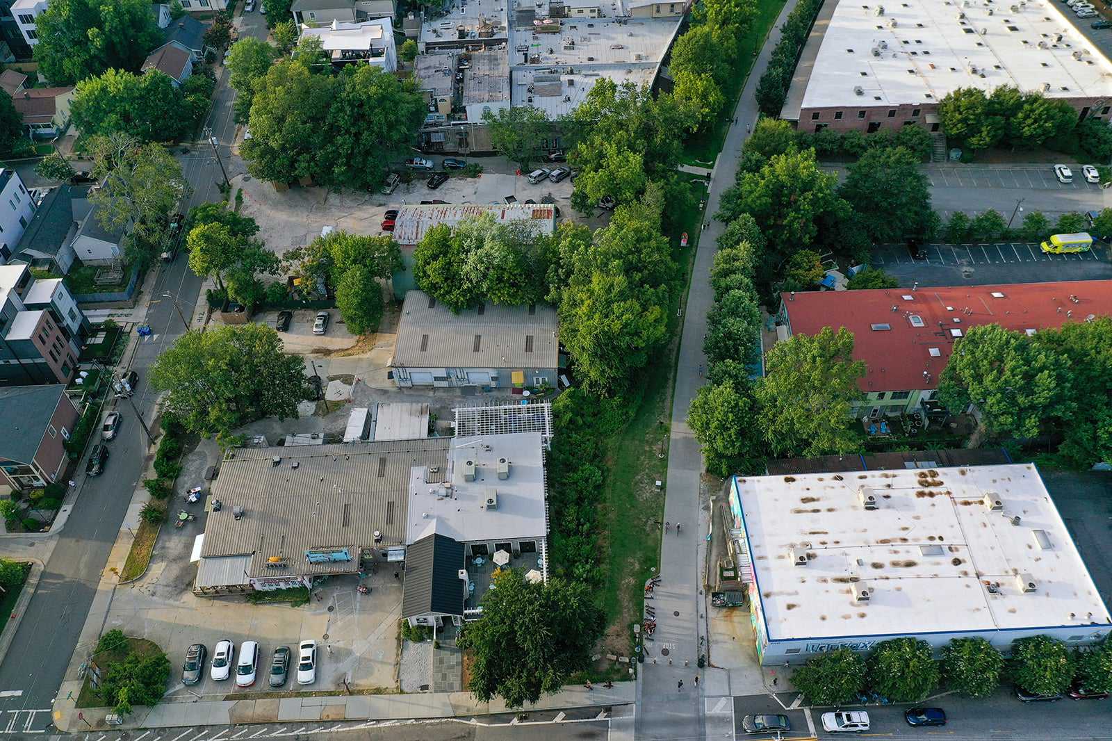
The Atlanta BeltLine is a multipurpose trail along a former railway corridor in Atlanta. While it is an ongoing project that is expected to be finished around 2030, there are plenty of sections that have already been completed and currently in use. When it is finished, there will be around 33 miles of former rail lines transformed into walking and biking paths that will loop around the central part of the city. It will connect around 45 different neighbourhoods and parks in Atlanta.
The BeltLine was originally developed as a master’s thesis by Ryan Gravel who was studying at Georgia Tech in 1999. It has since received federal grants and private donations to contribute to the completion of the project. The design of the multi-use trail is to add green space and promote sustainable transportation around the city. Despite it not being complete, it has already emerged as one of the icons of Atlanta.
Atlanta BeltLine - one of the highlights of 10 Best Free Things to Do in Atlanta and 10 Things to Do Off the Beaten Track in Atlanta (Read all about Atlanta here)

What are the highlights of Atlanta BeltLine?
The Atlanta BeltLine is one of the most comprehensive and largest urban redevelopment and revitalisation projects in America. The transformation of old rail lines and track easements into multipurpose trails began in the mid-2000s with the establishment of Atlanta BeltLine Inc. The project is ongoing, though parts of the trail that are completed include the Eastside Trail, Northside Trail, Southwest Connector Trail, and West End Trail.
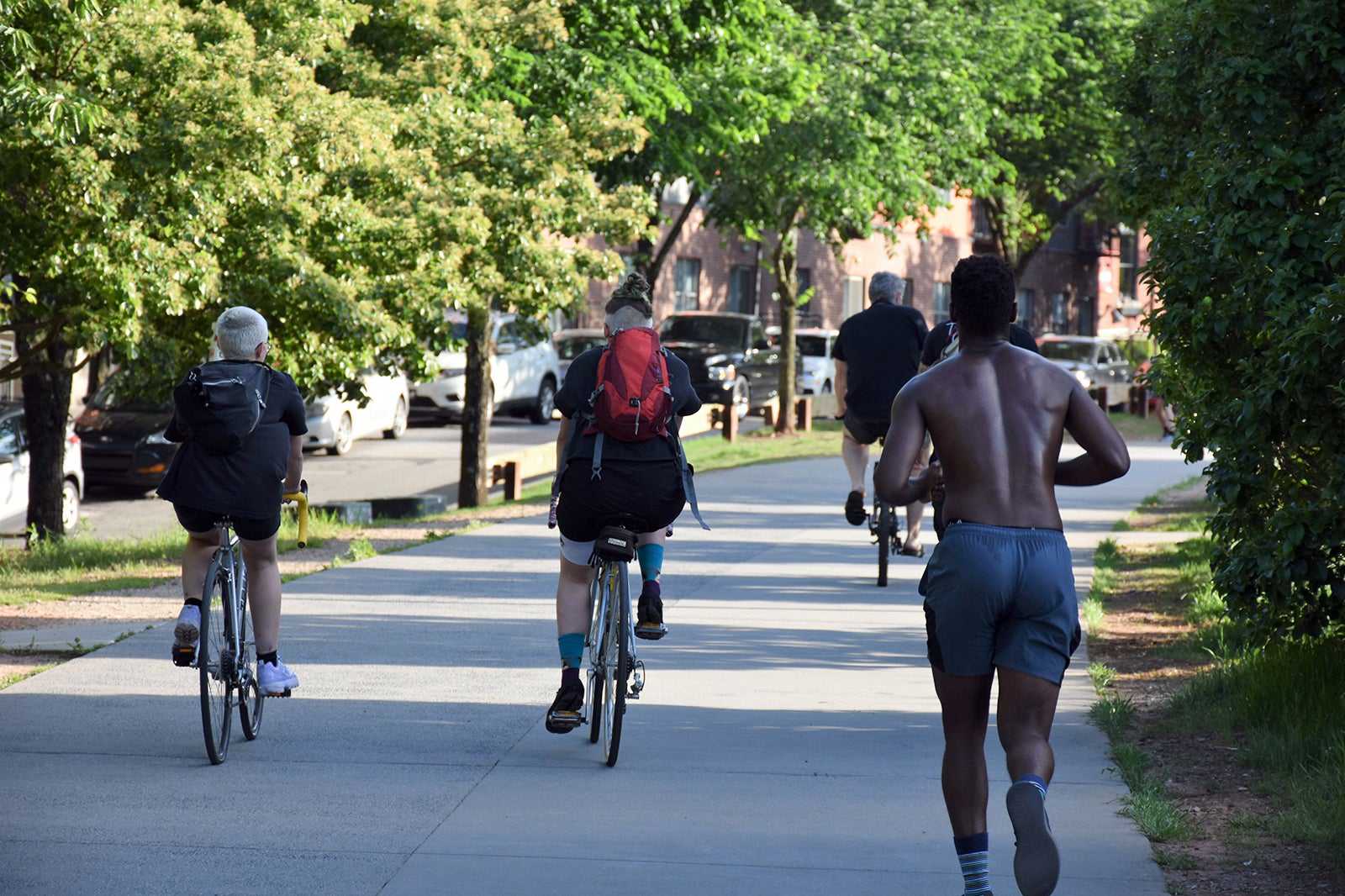
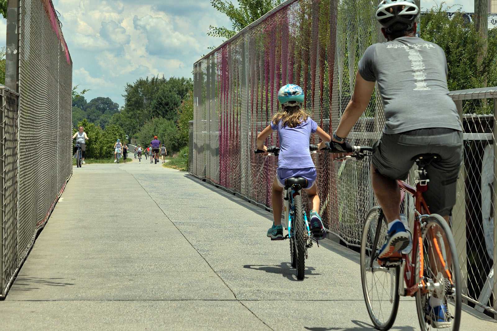
Eventually, the BeltLine will encircle the central part of the city, providing residents and visitors with a different option of transportation. The trails are mostly used by cyclists and walkers, although there are plans for a light rail to be added in the future. While the initial focus was on transportation, the BeltLine project has expanded into rejuvenating green spaces in the city and promoting local street art. The trails connect several of Atlanta's parks and showcase hundreds of works of artists at public exhibitions along its length.

A brief history of Atlanta BeltLine
The original concept of transforming rail corridors into trails and parks in Atlanta is credited to Georgia Tech’s student Ryan Gravel. He developed the idea in his 1999 master’s thesis and subsequently founded the non-profit organisation, Friends of the BeltLine. Along with some colleagues, he promoted the idea to the community, business groups, and the local government. In 2006, Atlanta BeltLine Inc. was formed, and work began on the extensive project with 5 sections currently completed.
In 2013, the project received a federal grant to develop further trails of the planned network. In 2019, the James M. Cox Foundation donated funds to connect the BeltLine to the Silver Comet Trail. Spanning 300 miles, this will eventually make it the longest paved trail network in the entire country. The entire Atlanta BeltLine project is projected to be completed in 2030.

Good to know about Atlanta BeltLine
The Atlanta BeltLine trail network is a free and convenient way to get around Atlanta. The existing trails connect to some of the most popular neighbourhoods, so it’s a nice way to get around on foot or by bicycle. Each trail or section of the BeltLine has multiple access points so that you can hop on and hop off the trail depending on where you want to go.
The most popular trail is the Eastside Trail, which can take you to Ponce City Market and Krog Street, with plenty of art installations in-between. Bus, bike, and walking tours are available if you want to learn more about the BeltLine and the city of Atlanta. Otherwise, you can also self-tour the art installations on the BeltLine, with maps outlining stops along the way.

Atlanta BeltLine
Open: 24/7
Phone: +1 404-477-3003


